The GGOS-Africa project
Powering the next generation of geodetic developments across Africa.
Powering the next generation of geodetic developments across Africa.

We intend to establish GGOS-Africa and support both new and existing geodetic initiatives throughout Africa, thereby promoting developments at global, regional, and national levels.
Geodesy measures the Earth's time-variable size, shape, and gravity. Its role is fundamental to various scientific fields, including navigation and mapping, climate change, engineering, meteorology, and natural hazards.
The precise geographical information systems (GIS) produced through geodesy are essential for providing services to individuals, households, and businesses, managing land rights and development permits, as well as developing and maintaining national and regional infrastructure to access water, waste management, electricity, transport, education, health facilities, markets, and security. Consequently, geodesy is recognised as contributing directly and indirectly to all of the United Nations Sustainable Development Goals (SDGs).
However, the status of geodetic infrastructure across the African continent needs thorough documentation, and the current infrastructure must be expanded to allow African nations to participate in and contribute to global geodesy effectively.
This project, funded by UK Research and Innovation (UKRI), aims to establish the African affiliate of the Global Geodetic Observing System (GGOS-Africa). This initiative will enable African nations to play a more active role in international geodetic efforts, such as those outlined in United Nations General Assembly Resolution A/RES/69/266, "A Global Geodetic Reference Frame for Sustainable Development." This will benefit the scientific community and support policymakers in making informed decisions across various areas, including climate change, disaster management, and urban planning. Our vision will be pursued through the following key goals:
GGOS-Africa project funded by UKRI
The £10.7 million Africa-UK Physics Partnership (AUPP), led by UKRI and the IOP, is funding 13 projects aimed at advancing research, innovation, and economic development in sub-Saharan Africa. It promotes UK-African collaborations in areas such as climate resilience, sustainable energy, and healthcare. By partnering with Ghana, Kenya, Rwanda, South Africa, Tanzania, and Uganda, it enhances research capacity. The initiative seeks to drive long-term scientific progress between Africa and the UK. The GGOS-Africa project is among these initiatives and is now funded until February 2027.
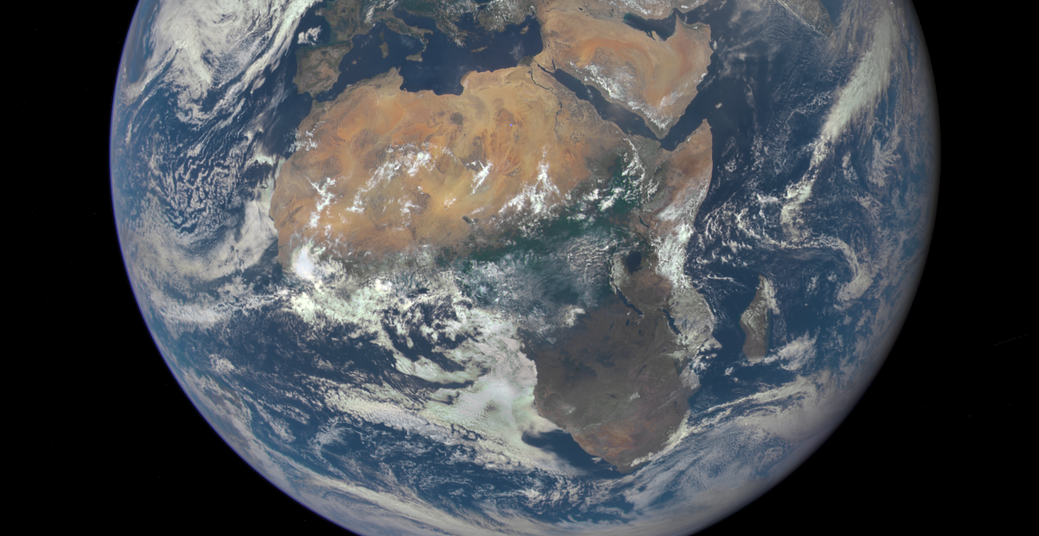
Image credit: NASA

The partners, collaborators and contributors that will deliver this project.
This project will be delivered through five key work packages (WPs)
WP lead: J. Radcliffe (Manchester)
Develops the governance, structures, and processes to enable and monitor the project and ensure all deliverables and milestones are achieved.
WP lead: Prof P. Baki (TUK)
Conducts a comprehensive assessment of the current status of geodetic equipment, computational infrastructure, and human capacity across the participating countries.
WP lead: Dr A. de Witt (DSI)
Utilise simulations and geospatial analysis to identify optimal locations for new geodetic infrastructure and develop a strategic plan for infrastructure enhancement
WP lead: Prof R. Botha
Lay the groundwork for establishing GGOS Africa, a regional GGOS affiliate coordinating geodetic activities across the continent.
WP lead: J. Radcliffe (Manchester)
Ensure the long-term sustainability of the project's outcomes and explore opportunities for expanding the initiative to cover more regions and aspects of geodesy.